I'm free!
After months of trying to break out of Bangkok hard, hectic lifestyle ... I finally landed a job AGAIN in the Thailand eastern seaboard and right back into mountain bike heaven. Gimme a few weeks and I will revisit old haunts to see how the trails have fared during this time.
I was told that there are also new trails in the area. And so will make plans to visit those as well.
My buddy, FullOption, is patiently waiting for me to suck my gut and get marginally fit to hit the trails again and write about the trail conditions.
We will ride most weekends ... and tell you about it ...
Monday, August 18, 2008


Monday, April 02, 2007
Chonburi - Tam Pratoon Enduro Trail
... short and very very sweet ...

If there ever was a trail that you could consider plain ole meat and potatoes, then this would have to be it. The complete circuit measures just 4.0 kilometers and there are no frills to it. No long windup to get there, no boring flat sections, no nothing - just one long stretch of uphill climb and one long stretch of brisk downhill.
Location: Khao Mai Gaew Reservoir, Banglamung, Chonburi
Trail Length: 4.0 kilometers
Jump-off Point:
Small trail opening beside the parking lot. The entry point for the Enduro trail is the same place as the exit point of the mtb trail. Huh?! Yup. You have to backtrack a bit to get to a fork which leads to the motocross playground.
The Trail:
First of all, this is an Enduro motocross trail and is not an mtb singletrack. We are just sneaking out to play in this playground, so watch out when the boys with the big bikes are coming to play.
Although there is really no choice in this, it is best to give way and to stay on the sides when the motorbikes are coming. Leave your Ipods behind as the only way you can tell they are coming at you is via the high revving sounds from their rides. If you are plugged in to your favorite music, you may not hear them coming. With the thick grasses and underbrush, they may not see you soon enough and this could spell trouble.
Also, if on the day you come, there are many enduro riders, then I suggest you choose the usual mtb trails until the trail is once more empty.
 As soon as you cross the tree line, you will immediately feel the uphill slant. You need to backtrack a little on the normal route for about 50 meters and you will see a fork. Try to watch out for yellow triangles tacked to trees giving clear direction. The arrow signs clearly say "Enduro Trail", but its all written in Thai though.
Its just climbing from hereon. Consider it a paradise for gritty XC riders who love to climb. The trail twists and turns, but continually ascends. The pain goes on for a little more than a kilometer.


 Great looking rock formations litter the trail. These are just perfect for taking pictures. For some of us unfit creatures -- nice flat places to rest weary butts.
You will know it when you summit.
 Big tree with a big white sign "Khao Mai Khaew Enduro Trail" is right there at the top and you will see (ugh!) big rocks spray painted all over. Not condoning this, I was thinking that these Enduro riders with their big bikes still feel a need to announce to others that they had been there. Wow. Their bikes are loud enough as it is. Anyway.
I just gave it a few seconds and licked my lips. Reaching the summit mean only one thing, time to go down -- slurp. Time for the downhill boys to have fun.
And lots of fun I did have. The downhill sections are steep, twisty and fast. The trail is clean and clear of obstacles so you could really let it rip.
 The trail is a bit more difficult compared to an mtb trail in that there are deep ruts filled with loose topsoil. This is clearly a result of those powerful enduro motorbikes with wide heavy lugged tires which really dig deep into the dirt. The trail is filled with dust and loose soil. I would hate riding on this trail during the rainy season. Think lots and lots of mud pits.
With narrower tires and smaller tread patterns, mountain bikes have a harder time moving through the trail. The loose soil makes steering on corners very very tricky. I found that I had to make the use of berms on corners to help me get quickly through the curves. Therefore, take note, bring fat offroad tires.


Of course you know that high speeds and loose corners always equals bike crash. So be careful, always control your descent and keep low.
I did find myself skidding down at a number of times. Even slight feather-like touches on the rear brakes did not prevent the rear tire from skidding. And pressing the front brakes is definitely out of the question. The section is steep enough that I was always on the brink of going over the bars. I had to totally let the front wheels go free. All I could do was balance the bike while allowing the rear brake to skid and check my momentum.
Still it was a lot of fun!
Fitness Level:
The only hard work in this trail is to rise to the summit. After that, its all downhill. Leg strength is important as there are some really steep climbs.
Technicality:
For those guys who want a challenge, you will love this trail. Both the uphill and downhill sections are technically challenging.
Climbs are really steep and seem never ending. Stay poised and focused for the constant grind. I was happy that my granny gear had 34 teeth and helped me a lot. My buddy FullOption had a smaller granny and he had to hammer through. He has more powerful legs though and one of the rare few who relishes climbing.
The downhill part is as steep and as tough. Technically difficult as there are many deep ruts and loose soil. Those who love descending should have no complaints. Enough challenges here to please everyone.
Fat chunky tires are the order of the day, especially tread patterns for dry, loose conditions. Semi-slick tires will not cut it.
A good all-around bike will be best for this trail, as it is equal parts climb and descent. My bike had 130mm front fork which was good on the downhill parts, but was a bit tool long for the climb sections. My front wheels kept on leaving the ground especially when I hammer it out. I had to stay relaxed and maintain a steady pace.
How to Get There:
If you are coming from Bangkok, take the Motorway (Rd.7) and follow this until you reach Kratinglai Junction, which is the huge cloverleaf splitting the road heading to Pattaya and to Rayong. Take the left turn to Rayong (Rd.36) and begin to slow down. About 1.5km from the junction, turn left Rd.3240. Road markers to watch out for, a Caltex gas station and a shell gas station. If you see these points, then you are just a few seconds away from Rd.3240.
Travel about 6km into Rd.3240, and you will arrive at a small country road with a big colorful sign beside it. The sign has pictures of sports activities like jogging, biking, ... (If you arrive at a 4-way intersection with traffic lights, you'd have missed it and need to backtrack now. Dont lose your cool now, just make a U-turn on the PTT gas station. Its 900 meters from the intersection, but now its on your right side).
Turn left into the country road and about 500 meters, you will arrive at a big garden and a parking lot beside a medium sized reservoir. Make a sigh of relief and get ready to have fun!
If you think you've seen these directions before, maybe you have. I just copied and pasted the whole text from my previous blog on TPT. [link]
Wednesday, March 07, 2007
Road Trip: Thalan, Saraburi
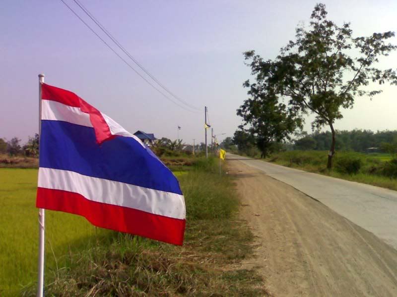 To all you guys who think that we deserve a big full-suspension slap in-the-face for not updating the blog, well, you're right! Three months into the New Year and no new posts. Lazy bastards, plain and simple.
I guess all you good kids got some sort nice bike parts from Santa from the holidays. Of course, the naughty ones probably got whole bikes from American Express. Me? I got a pair of wheels and a new chain. Yep, whoopdeedoo.
Let's get down to business. I'm going to show you images of one of my road trips in Saraburi, a province roughly 150kms north of Bangkok.
The trip starts on a long strip of road along the river. Not much traffic here. I mean, you can pedal for an hour and not see more than two oncoming vehicles. You'll see more cows than cars. Smooth road, slight breeze, and the river make for a pleasant prologue for the rough road ahead.
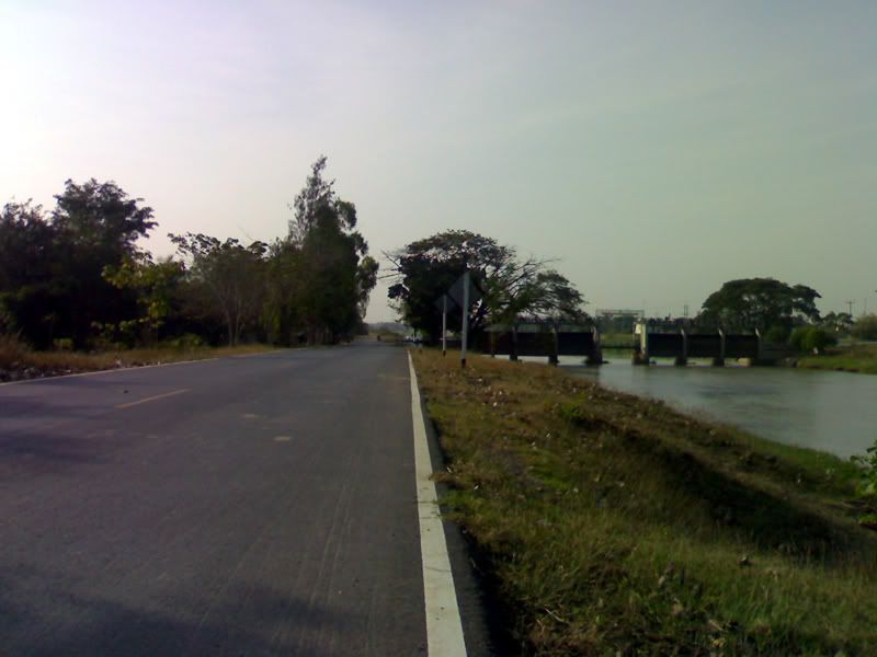
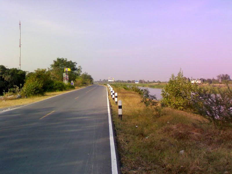
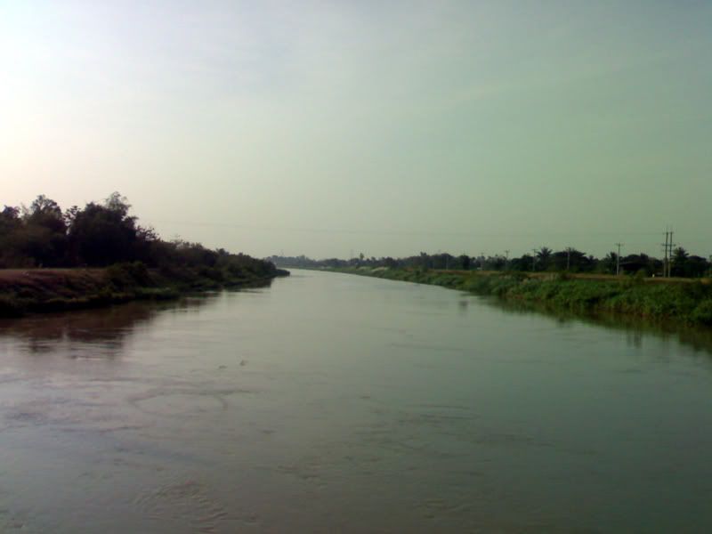
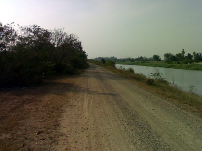
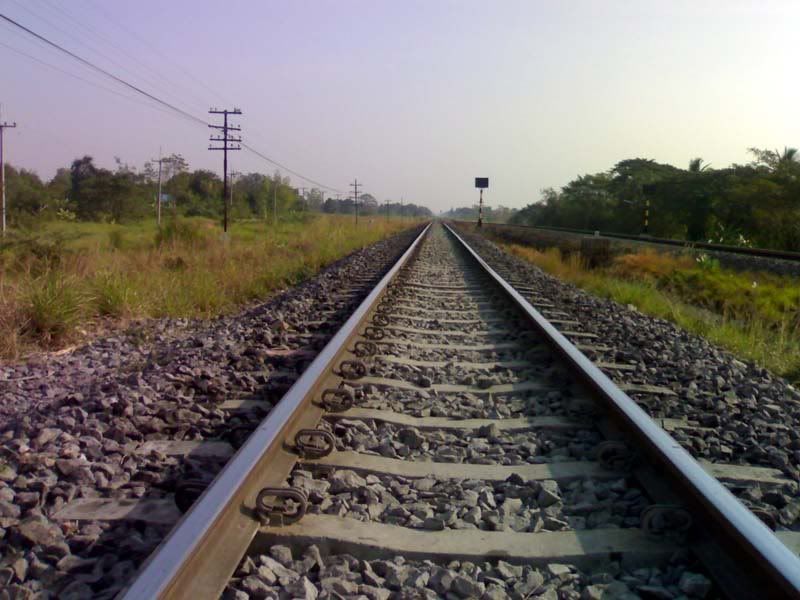
After the warmup comes the workout - a long stretch of rough road, loose rocks, and dust. I used this stretch for some cardio and intervals. Along the way, the ricefields and railroad tracks provide good distractions from this grind. I like the way the tracks seem to disappear to the horizon, looking over my shoulder for trains.
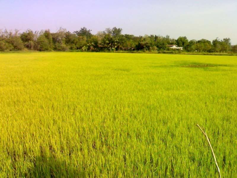
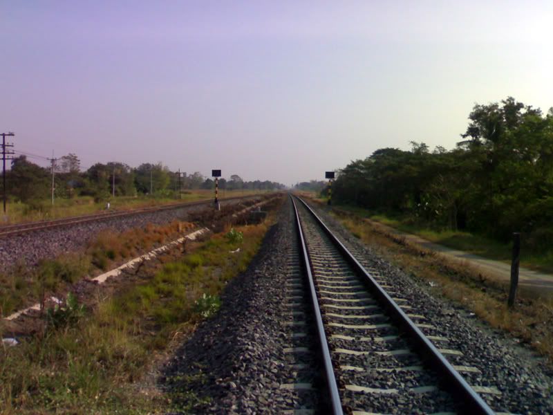
On one part of the road lies the border between a Ayutthaya and Saraburi, two adjacent provinces in Central Thailand. This part of the trip slices through kilometers of farm roads.
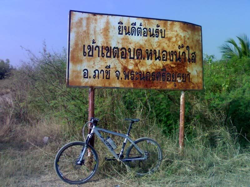
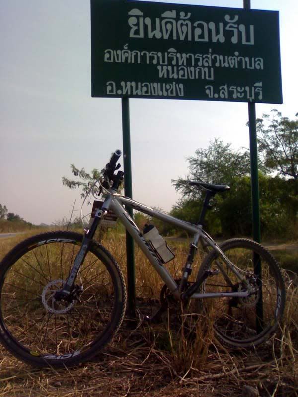
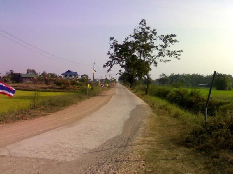
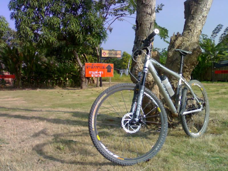 Then, finally, my destination - Ban Rai Coffee House. This place just amazes me. I mean, in between long stretches of farm roads, in the middle of nowhere, lies this good coffee house with good food, fresh fruit juice, and internet! This place must be busy during weekends of people looking for a little peace and quiet.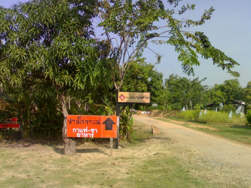

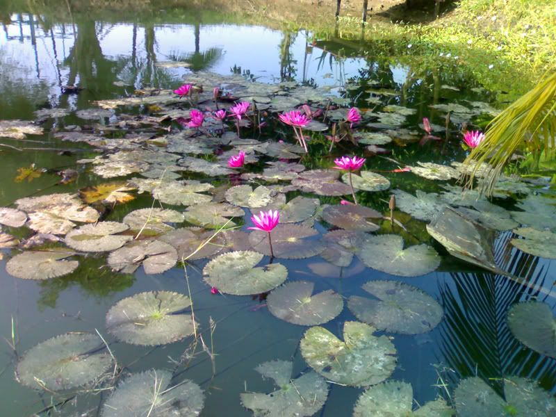
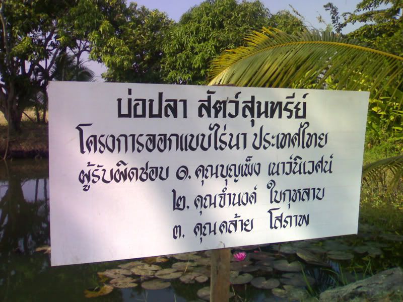
The lotus flowers in the entrance welcomes romantics until you realize that this is actually a fish pond for research.
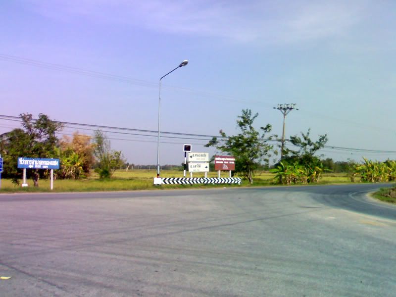
Energized by espresso, I pushed on heading back going through SaoHai along road 3041. It was a pleasant surprise to see a procession of sorts along the way - a dude being sent for monkhood (yep, that's him under the RED umbrella) with the rest of his family and friends trailing behind cheering all the way! The dude in the yellow shirt is directing traffic.

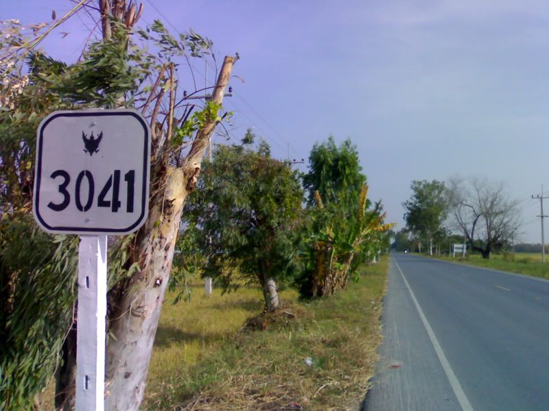
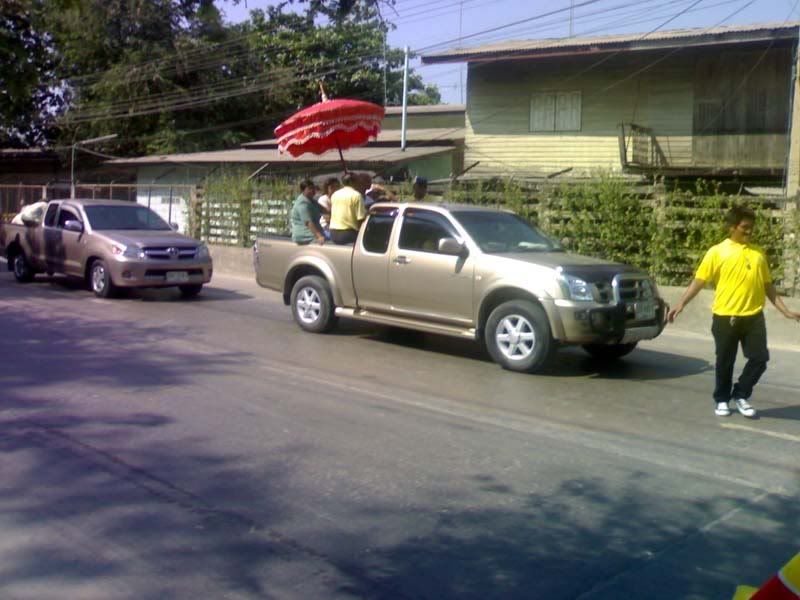

I should have captured this on video for you guys to see how wild it was.
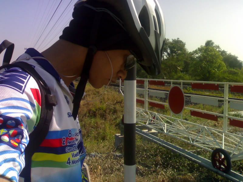 Well, there it is. Not much of a ride, nothing extreme or epic. But, hey, I was on my bike and it was excellent!
Monday, December 18, 2006
Trail Update: PongDinDum
Location: Chonburi
Trail Type: XC
I nearly cancelled this trip due to very strong, gusty winds. But I've been out of my bike for a week. I waited for the sun to come up and around 7am decided to roll out.
No doubt about it, the winds were blowing so hard! I had to lean my bike towards the wind or else I'll topple over! The powerlines were whistling so loud I thought there was a low flying aircraft nearby. There was one time I was on a descent, I HAD to pedal against the wind just to go down. I wasn't even on the trail yet, around 20kms out. Wooohoo!! When I reached the trail entrance, I saw two gents who have just finished a loop. Looks like they brought their vehicles with them (a Fortuner and a Honda sedan). I thought they were done so I didn't stop to say hi and pushed on to the trail. I will find out later on that the guys went in for another loop. The weather was great, sun was out, not humid and very cool. It was not windy inside the trail, only at the peaks.
I wanted to try the counterclockwise route so that's exactly what I did. I've done the clockwise route many times so I had an idea on what to expect. I was not disappointed. Very long stretches of climbs and VERY gnarly drops. I had to chicken out of two descents. Alone and hurt in the midddle of nowhere didn't sound good at all. Good thing I did though. There are hidden ruts which you wouldn't see at the lip of the drop, impossible to read because of the bend, and requires pro-like reflexes.
The drops weren't as steep as I imagined but the loose rocks and 'surprise!' ruts should add to the challenge.
I didn't chicken out of the climbs though. I managed to hammer all the peaks.
At the top, what used to be lush and green pinapple fields turned out to be smoking and burnt. Burning season. Smoke and ash everywhere, I feld I was in Silent Hill. But the view was still great, winds almost breaking the tall and slender trees. Mountains on all sides. I saw a trail on a small hill that may be worth exploring.
The second half of the trip, downhill from the pineapple field was fast. You can just let it all go and navigate all the way down. I was almost tempted to bomb this but decided to play it safe - good call. There are some areas with deep sand which could mess your momentum, deep ruts cris-crossing the small drops and lots of loose fist-size and babyheads.
Summary: Clockwise route wins the fun factor hands down for me. I prefer the steep climbs and loong descents. But if you're looking for a good workout (stamina and bike handling), the counterclockwise route will not disappoint.
Trail Type: XC
I nearly cancelled this trip due to very strong, gusty winds. But I've been out of my bike for a week. I waited for the sun to come up and around 7am decided to roll out.
No doubt about it, the winds were blowing so hard! I had to lean my bike towards the wind or else I'll topple over! The powerlines were whistling so loud I thought there was a low flying aircraft nearby. There was one time I was on a descent, I HAD to pedal against the wind just to go down. I wasn't even on the trail yet, around 20kms out. Wooohoo!!
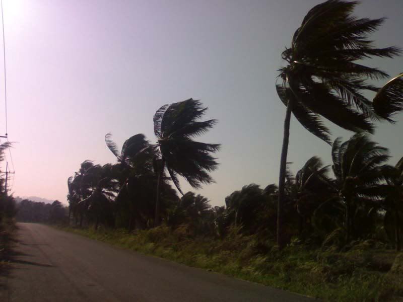 When I reached the trail entrance, I saw two gents who have just finished a loop. Looks like they brought their vehicles with them (a Fortuner and a Honda sedan). I thought they were done so I didn't stop to say hi and pushed on to the trail. I will find out later on that the guys went in for another loop. The weather was great, sun was out, not humid and very cool. It was not windy inside the trail, only at the peaks.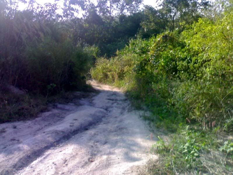
I wanted to try the counterclockwise route so that's exactly what I did. I've done the clockwise route many times so I had an idea on what to expect. I was not disappointed. Very long stretches of climbs and VERY gnarly drops. I had to chicken out of two descents. Alone and hurt in the midddle of nowhere didn't sound good at all. Good thing I did though. There are hidden ruts which you wouldn't see at the lip of the drop, impossible to read because of the bend, and requires pro-like reflexes.
The drops weren't as steep as I imagined but the loose rocks and 'surprise!' ruts should add to the challenge.
I didn't chicken out of the climbs though. I managed to hammer all the peaks.
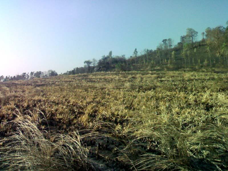
At the top, what used to be lush and green pinapple fields turned out to be smoking and burnt. Burning season. Smoke and ash everywhere, I feld I was in Silent Hill. But the view was still great, winds almost breaking the tall and slender trees. Mountains on all sides. I saw a trail on a small hill that may be worth exploring.
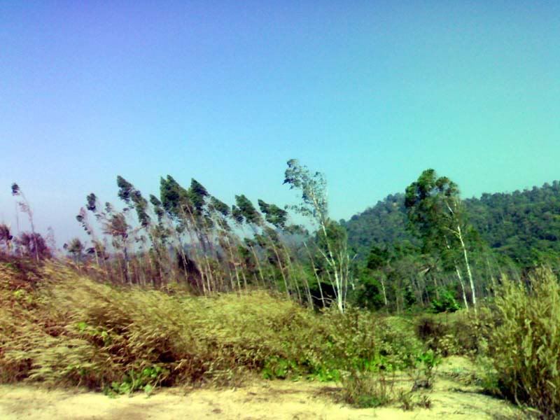
The second half of the trip, downhill from the pineapple field was fast. You can just let it all go and navigate all the way down. I was almost tempted to bomb this but decided to play it safe - good call. There are some areas with deep sand which could mess your momentum, deep ruts cris-crossing the small drops and lots of loose fist-size and babyheads.
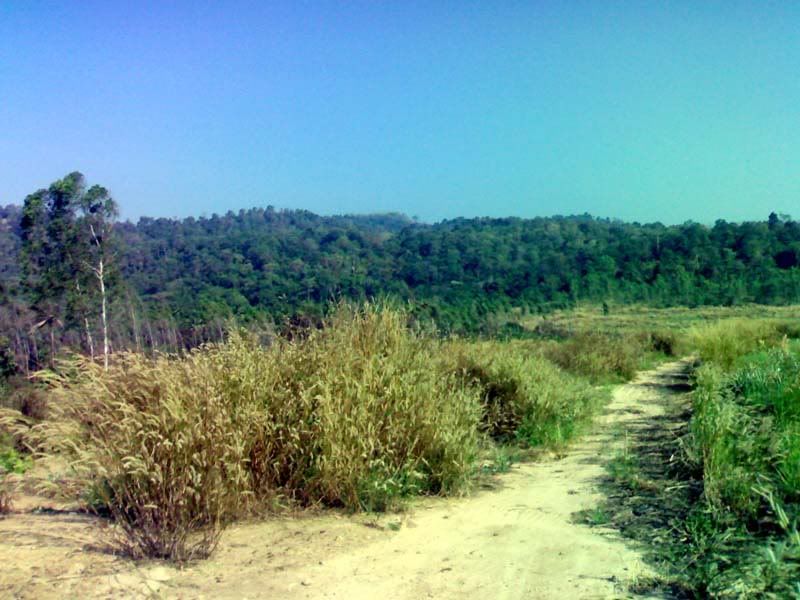
Summary: Clockwise route wins the fun factor hands down for me. I prefer the steep climbs and loong descents. But if you're looking for a good workout (stamina and bike handling), the counterclockwise route will not disappoint.
Subscribe to:
Posts (Atom)